Those who make maps usually try to convince us that maps are neutral and objective representations of physical terrain. However, maps are selective as well as imaginative in that they create and superimpose meanings; they include particular aspects and exclude others, thereby telling us what is important and what is not. The maps we use to navigate by are thus only one possible way of representing the world.
What other meanings could be reflected through maps? What could maps do and show differently; how would that influence how we navigate the world and our relations to all the beings in it?

I have an old school atlas from 1985. I am not quite sure why I have kept it all these years. Maybe because you just don’t throw away books or maybe because I have always loved maps, atlases and globes. As a child, I would stare at these representations of far-away places and imagine what it would be like to be there, or I would look at representations of the places I knew, and marvel at how they became transformed into strangeness when viewed from this perspective. Maybe I also liked maps because they seemed to explain and make graspable the strangeness of the world in a reassuring two-dimensional paper version that you could close and put away when you were done with it.

Years ago, when I did fieldwork in Ecuador, I came across many maps which showed Ecuador as a much larger country than the current, internationally recognised borders indicate. These were maps that defiantly included parts of Peru that were disputed by the two countries for decades. The war had officially come to an end in 1998 and the border been demarcated in 1999, but in these maps, the conflict was still being fought. The more modest maps would not include the contested area outright. Instead they replaced the solid border that marked the territorial extent of Ecuador’s land surface in all other areas with a dashed line, indicating a hesitation, that things might still be otherwise.
On the ground this was made tangible in the form of unexploded landmines, which made it dangerous to leave well-trodden paths. A large military camp and ‘campesino’ villages of settlers from the highland areas, lured here by the promise of land, were other ways the Ecuadorian government demonstrated that this was a place inhabited by proper Ecuadorian citizens. The indigenous people of the area, despite being recruited as soldiers during the war, did not seem to count as such.
Despite all this, the border remained porous, both on the map and on the ground where local people from the other side of the border would cross over as a short cut to the nearest market town rather than stay on ‘their side’ of the border where the nearest town was several days walk away.

To be useful, maps have to leave things out. They are simplified representations that help us navigate and understand, but at the cost of omitting details, complexities and the dynamic nature of everything. As such they are always political in that there is power in deciding what to exclude, what to include and how to represent that which is included. Being included can be as dangerous as being excluded.
In one of Jorge Louis Borges’ stories he describes an attempt to create an accurate map of an empire. More and more details are added to the map and the scale increases until the map turns into a realistic depiction at the scale of 1:1. Subsequent generations realise that this map is of no use and abandon it to turn into ruins.
Taking this story as his point of departure, Umberto Eco writes about the logical and practical impossibility of creating such a map, which amongst other things would need to include a copy of itself in order to be a complete representation of the empire, which would then require the addition of another map (including the map containing the map) and so on, to infinity.

In my old school atlas, different kinds of maps sit side by side pointing to the multiplicity of possible ways of representing places. There are political maps (which in this case have become historic as countries and empires have fallen apart or sprung into existence), geological maps (more colourful than even the political maps), topographic maps, maps of human population density and air pollution, maps of rain and temperature patterns in space, and a map of spring (expressed in coloured bands representing the average dates of apple blossom in different places).
To represent these things they need to be converted into something measureable, something that can be extracted, quantified and compared.
Would the bees agree that average apple blossom date is the right way to define spring? Would the toads? The swallows? The earthworms? The river? And what about the apple trees themselves?
If animals and plants and other beings made maps, what would these maps look like and what would they contain?

Many authors of fantasy stories draw maps of the places in which their stories take place to help themselves and their readers orient themselves and navigate the stories. In Yunnan province in China, the city of Zhongdian changed in the 2000’s name to Xianggelila, the Mandarin version of Shangri La.
Shangri La was a fictive place occurring in James Hilton’s story Lost Horizon. Nevertheless, you will find people who ardently insist that Xiangelila really is the location of Shangri La. If Hilton had included a map of Shangri La, would this be what Xianggelila would look like now?
Most of the time we live as if the lands – and hence the maps that represent them – are more or less fixed, permanent, apart from minor changes. Sometimes the maps change without the lands having changed as empires come and go or our imagination and our perception of what is important and how it should be represented changes.
Sometimes, though, the land itself changes: forests are felled or planted, quarries are dug, roads are built, cities expand, rivers change their courses, volcanoes erupt, landslides move soil from one place to another, coasts erode. Mostly we try to prevent the changes that have not been initiated by us humans: we build flood defences, try to contain and divert, keeping landscapes and maps fixed, unchanging, curtailing the imagination of others, ensuring that it is our own imagining of place that will be upheld.

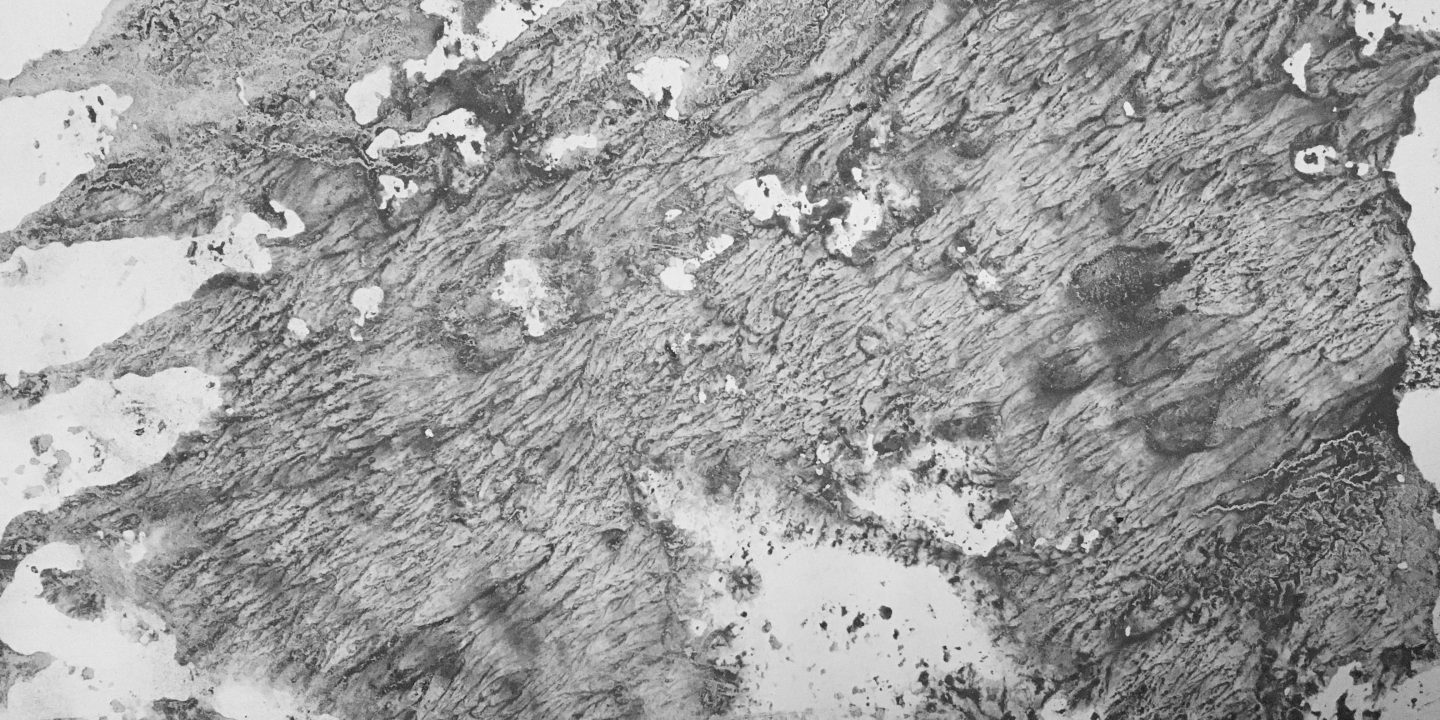
Europa

They say
that once
she was a young woman
so beautiful
that even Zeus himself
could not resist
(But then,
He never tried
Very hard, did he?)

You wouldn’t know it
looking at her
now
All old and wrinkled
skin sagging
hunchbacked
flesh bulging out
where it should not
and lacking
where you’d want
some substance
ravished by time
and that other one,
his son.

Even
the folds
of her cloak
cannot conceal
that she is a crone
now
or some might even
say
a hag
But I ask you
is there not beauty
even
in this?
This post is part of a project entitled ‘Imaginative dwelling in troubled relations’ which explores the role of the imagination and embodied practies in shaping our relations to humans and the more-than-human. The project constitutes the creative part of Anja Byg’s final project for the MA in ‘Poetics of Imagination’ at Dartington School of Arts. Thanks are due to the human and non-human others whose inputs have been an invaluable part of this project.
Anja Byg‘s previous existences include those of an ecologist, ethnobotanist and social scientist. She is currently in the process of transitioning to an as yet unknown form of existence. For the time being she dwells in Scotland.

Photos & text © Anja Byg 2021.
Such beautiful writing and images, Anja!
Much love, Dx